Slieve Gullion Race [S] (C)
Slieve Gullion Mountain Race sponsored by Killeavy Castle Estate Hotel
Organised by Armagh AC
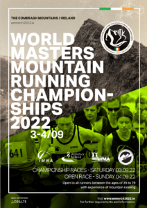
This is a NIMRA Championship race in the Short category and is a selection race for 2024 NI and Ulster teams for International races.
Having first been organised in 1973, the race has had various routes over the years, but the current race starts on the North side of the mountain and is ran over 3.9 miles with 340 metres of elevation. As a short race over a fairly well defined route, it is suitable for athletes of all standards – although knowledge of the route and/or good navigational skills would be required in conditions of bad visibility.
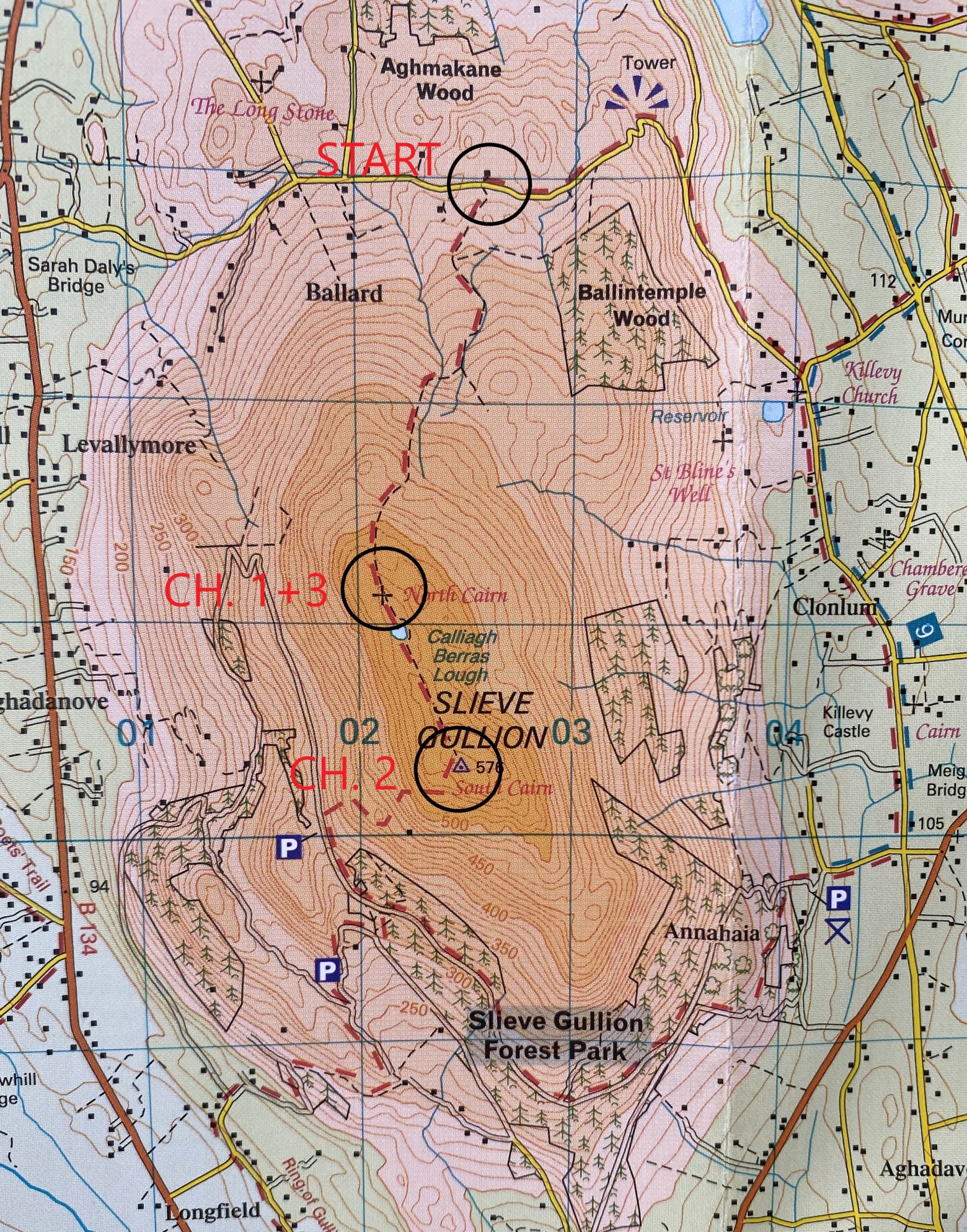
Route
The course is not marked but is fairly straightforward, climbing on paths to the north cairn of Sl Gullion and then along the ridge to the south cairn. Return by the same route.
In wet conditions the path along the top can be quite muddy. Wear shoes with as much grip as possible. In rain or high winds the race organiser may require full body cover.
Location of Start of Sl Gullion
The start of the race can be located by searching for “Ballard Cottage Self Catering, Newry” on Google Maps.
On the Newry bypass, take the exit on the A25 to Camlough. Pass through Camlough and in 0.5 miles take the B30 to the left. After a bit less than a mile, with the lake on your left, there is a cross roads, with the B30 going both left and straight on. Take the left direction and climb 3/4 mile to the crest of a low pass. At the crest take a left turn up a narrow road for about 1.8 miles to a T junction. Turn left, with the start in about 1/3 mile, almost at the highest part of the road, at map reference 025229.
RACE ROUTE MAP