Marsden to Edale Race 2014 – A Runners Perspective
By Richard Vowles
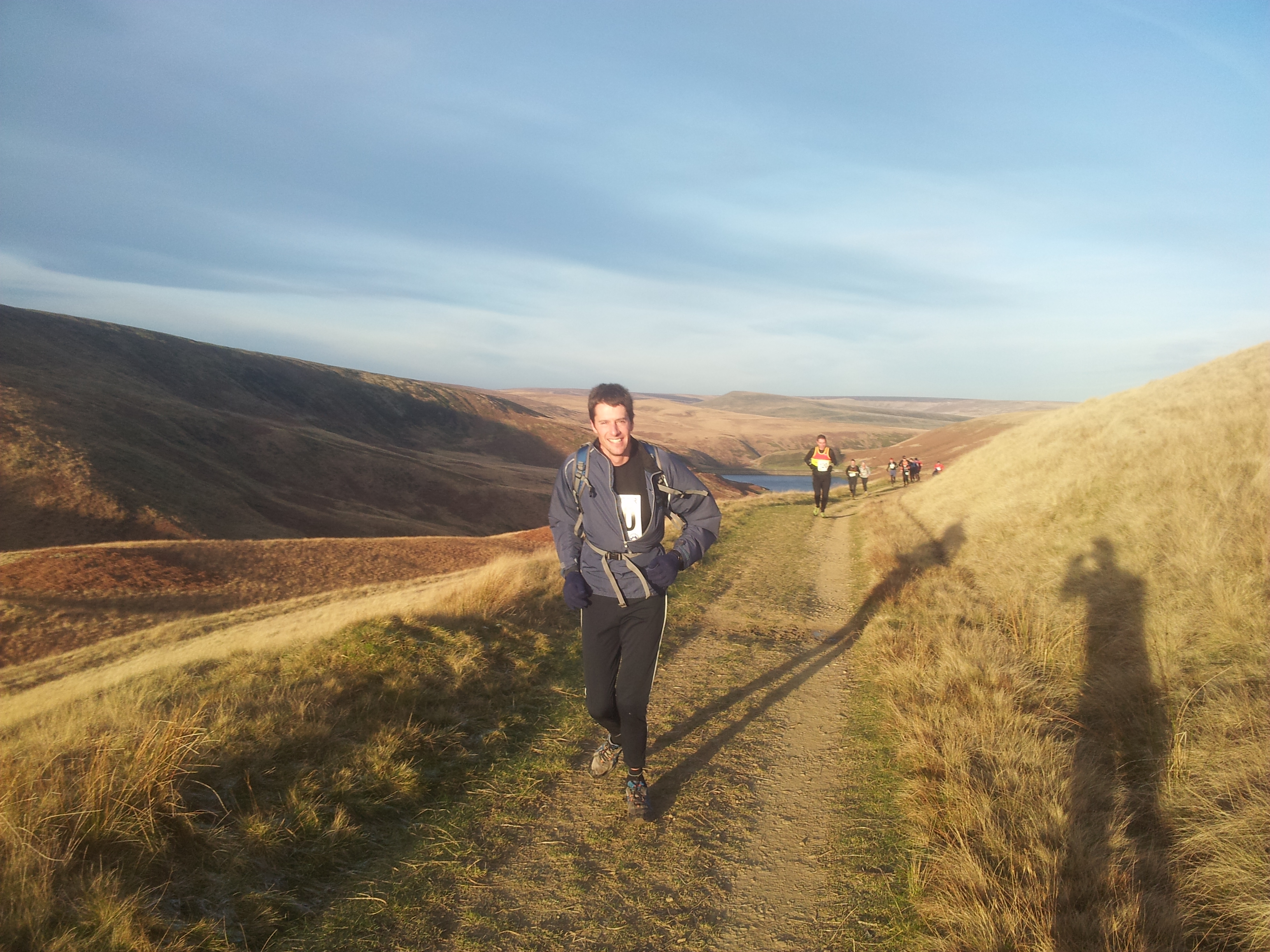
At 9am on Sunday morning in a frosty Marsden field I had my first outing in the Mourne Runners colours. Despite it being -3 degrees with snow and wind forecast for the race to Edale but I wasn’t going to hide the vest that had guaranteed me the place in this popular race.
It all started so nicely
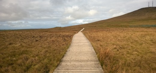
The race covers 20miles as the crow flies from Marsden in West Yorkshire to Edale in Derbyshire and climbs around 4500 feet as it crosses the high peak. While the race broadly follows the pennine way my map recce wasnt enough to make firm decision about what route to take and therefore how much mileage, climbing and rough terrain there would be.
The first stage of the route was a gradual climb in cold but fine weather up to a crossing over the A635. A 600m shortcut across heather and bog was an early indicator of how hard the going would be. Once over the A635 the route followed a very icy and treacherous path up to the summit of Black Hill at 582m followed by 5miles across rough country to the valley bottom at Longdale. On reaching Longdale and 10 miles into the race it was clear that we had done the easiest part of the race in the best weather we were going to see.
Leg three took us directly up to Bleaklow (633m) and Higher Shelf (621m). The ascent was a very steep scramble to gain the plateau at 600m followed by difficult going through snow and over peat hags and groughs for a couple of miles. By this stage the headwind was consistently 20mph and gusting much stronger but visibility was holding. Mountain Rescue handing out Jelly Babies at Snake Pass were a welcome sight.
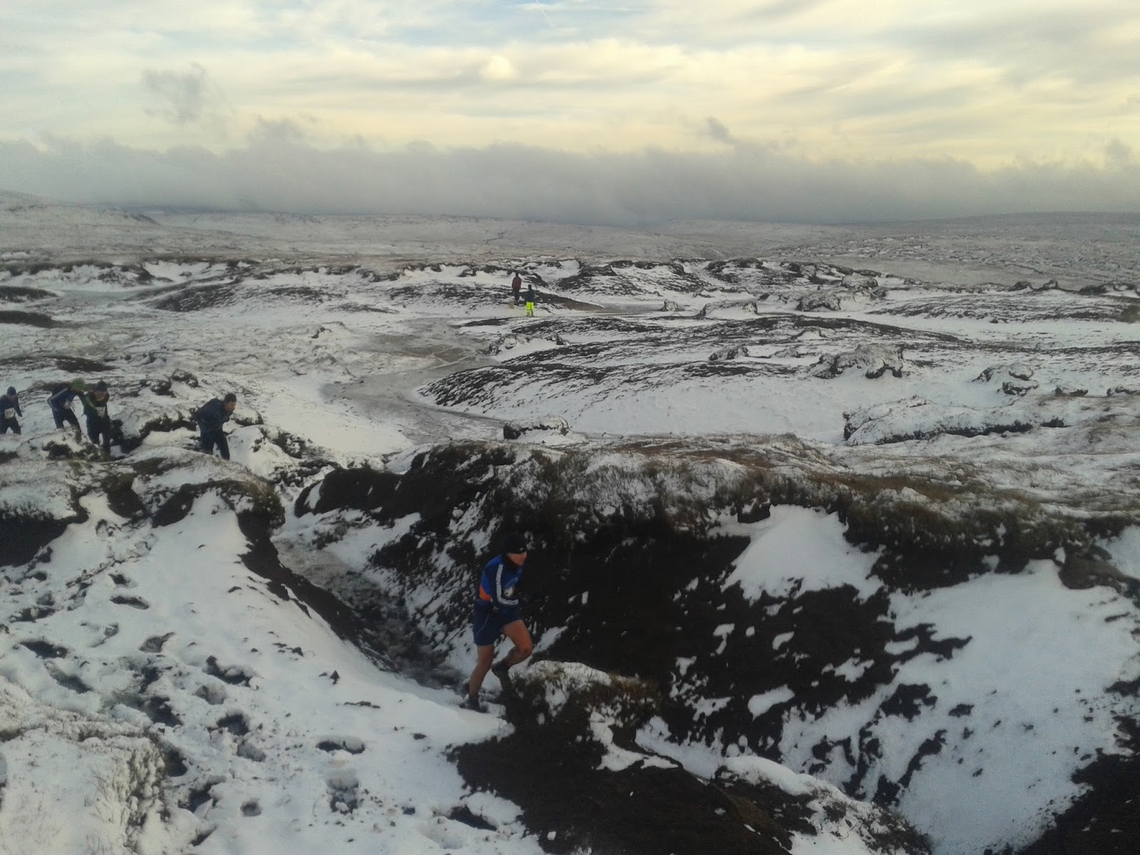
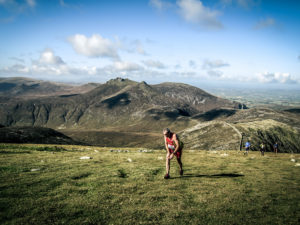
Runners in KInders Hags and Groughs
The final leg was 8 miles up Mill Hill (544m) and Kinder (600m) in increasingly cold and windy conditions. Route choice was complicated by ice and snow which was quite treacherous at times. From the Kinder high point the route was “atmospheric” as it ran along the cliff edge and passed Kinder downfall before heading SE into the hags and groughs of Kinder. Despite the Kinder plateau only being 1.5miles wide it is a maze of river valleys. Far too exhausting to go against the grain runners have to make their choices about which branches to folllow and hope. Any chance of following other runners vanished as the hags and groughs swallowed people up. I was lucky with my route selection and made good time to the southern edge of kinder – though my route was not as good as others as I saw a pack of three local runners (Dark Peak) gain over 800m on me! From the edge of Kinder it is a fast down hill run, with a lot of bumsliding, to the finish in Edale where hot fod and tea awaited.
I finished in 17th place after 4.05hrs of running having covered 23 miles and climbed 4500ft. Things were rougher for the 233 people behind me as the wind increased and cloud dropped wiping out the visibility shortly after I had finished. Despite the conditions, which led to the leaders being 20 minutes behind the previous years times, it was an excellent race. Well organised and Woodhead Moutain Rescue Team, who were out in force, looked after people brilliantly.